
Udagamandalam also known as Ootacamund and Udhagai and popularly known as Ooty is a town and a municipality in the Indian State of Tamil Nadu.
उदगमंदलम को ऊटाकामुंड और उधागई के नाम से भी जाना जाता है और ऊटी के नाम से लोकप्रिय भारतीय राज्य तमिलनाडु में एक शहर और एक नगर पालिका है।
| Rating(Out-Of-05) | |
| Overall | 4(No night life-style) |
| Distance | 4(350 KM from Bangalore) |
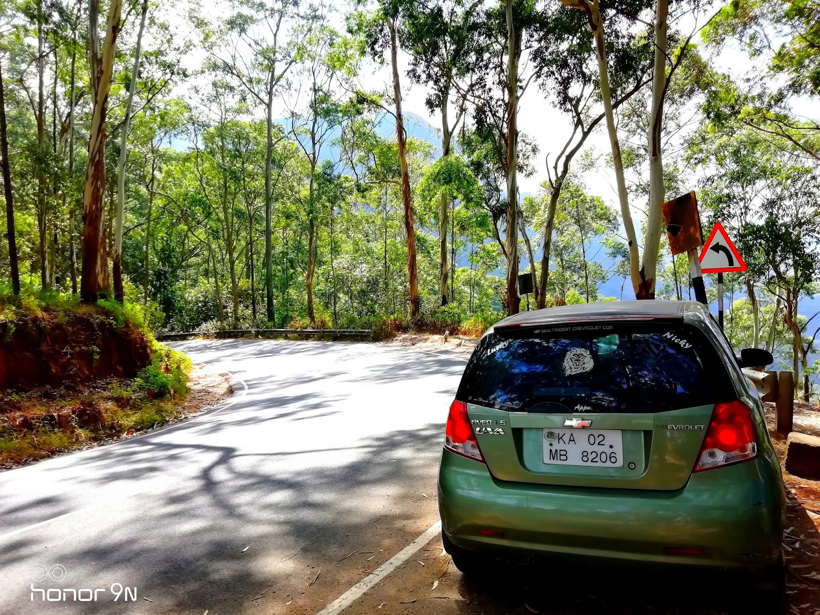
| Road | 3(2-different way and there 50 KM differ) |
| Sightseeing | 5(Hotel are average,No Fan, No AC) |
| Transport | 4(Own car is necessary) |
| Food(On-the-way) | 3(Not so must cheap) |
Distance between Silk Board, Bangalore to Ooty is 360KM.
सिल्क बोर्ड, बैंगलोर से ऊटी की दूरी 360KM है।
Ooty, Udhagamandalam, Tamilnadu 643001

Must Visit place:-
- Kotagiri Click here- Location on Google Map
- Pykara Lake Click here- Location on Google Map
- Government Botanical Garden Click here- Location on Google Map
- Nilgiri Mountain Railway Click here- Location on Google Map
- Coonoor Click here- Location on Google Map
- Tiger Hill Click here- Location on Google Map
- Pine tree forest Click here- Location on Google Map
- Needle rock Click here- Location on Google Map
- Shooting point Click here- Location on Google Map

Originally occupied by the Toda people, the area came under the rule of the East India Company at the end of the 18th century. The economy is based on tourism and agriculture, along with the manufacture of medicines and photographic film. The town is connected by the Nilgiri ghat roads and Nilgiri Mountain Railway. Its natural environment attracts tourists and it is a popular summer destination.
मूल रूप से टोडा लोगों के कब्जे में, यह क्षेत्र 18 वीं शताब्दी के अंत में ईस्ट इंडिया कंपनी के शासन में आया था। अर्थव्यवस्था दवाओं और फोटोग्राफिक फिल्म के निर्माण के साथ पर्यटन और कृषि पर आधारित है। यह शहर नीलगिरी घाट सड़कों और नीलगिरि पर्वत रेलवे द्वारा जुड़ा हुआ है। इसका प्राकृतिक वातावरण पर्यटकों को आकर्षित करता है और यह एक लोकप्रिय ग्रीष्मकालीन गंतव्य है।


The origin of the name is obscure. The first known written mention of the place is given as Wotokymund in a letter of March 1821 to the Madras Gazette from an unknown correspondent.In early times it was called OttakalMandu. "Mund" is the Anglicised form of the Toda word for a village, Mandu. The first part of the name is probably a corruption of the local name for the central region of the Nilgiri Plateau.
नाम की उत्पत्ति अस्पष्ट है। जगह का पहला लिखित उल्लेख मार्च 1821 के पत्र में एक अज्ञात संवाददाता से मद्रास गजट को दिया गया है। "मुंड" एक गाँव, मांडू के लिए टोडा शब्द का अंग्रेजी रूप है। नाम का पहला भाग संभवतः नीलगिरी पठार के मध्य क्षेत्र के लिए स्थानीय नाम का एक भ्रष्टाचार है।


Mohit Nareshchandra Bawankar
mohitmb3@gmail.com


The Government Rose Garden is the largest rose garden in India.It is situated on the slopes of the Elk Hill in Vijayanagaram of Ooty town.at an altitude of 2200 meters. Today this garden has one of the largest collection of roses in the country with more than 20,000 varieties of roses of 2,800 cultivars.The collection includes hybrid tea roses, Miniature Roses, Polyanthas, Papagena, Floribunda, Ramblers, Yakimour and roses of unusual colours like black and green.
गवर्नमेंट रोज गार्डन भारत में सबसे बड़ा गुलाब का बाग है। यह ऊटी शहर के विजयनगरम में एल्क हिल की ढलान पर स्थित है। इसकी ऊंचाई 2200 मीटर है। आज इस उद्यान में देश में गुलाब के सबसे बड़े संग्रह में से एक है, जिसमें 20,000 किस्मों के 2,800 किस्मों के गुलाब हैं। इस संग्रह में हाइब्रिड चाय के गुलाब, मिनिएचर रोजे, पोलिएन्था, पापागेना, फ्लोरिबंडा, रामबलेर्स, याकिमौर और असामान्य रंगों के गुलाब शामिल हैं। काला और हरा।


I’m successful every day because I look in the mirror, and I’m happy with who I am.
मैं हर दिन सफल हूं क्योंकि मैं दर्पण में देखता हूं, और मैं खुश हूं कि मैं कौन हूं।

Comments